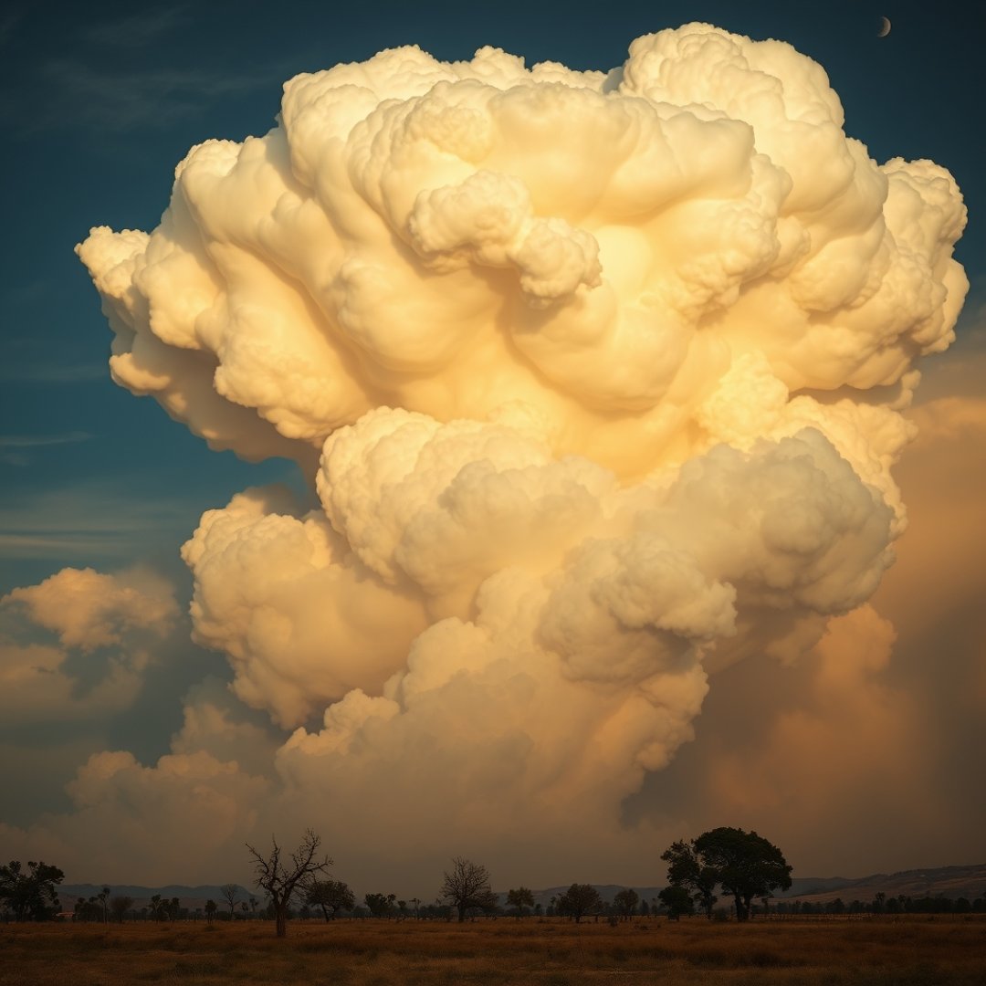
A fire-induced pyrocumulonimbus cloud represents one of the most intense and dangerous phenomena in modern meteorology. Often referred to as a “fire thunderstorm,” this extreme event occurs when the intense heat from a large-scale wildfire creates a powerful updraft, injecting smoke, ash, and moisture into the upper atmosphere. The rapid rise of these particles facilitates the development of a distinct, self-sustaining storm system that can reach the stratosphere. Studying pyrocumulonimbus cloud formation is critical because these clouds do not merely follow weather patterns; they actively influence them by generating their own lightning, which in turn ignites further wildfires. As climate conditions contribute to more frequent and intense fire seasons globally, understanding the mechanics behind these massive convective towers has become essential for wildfire management, atmospheric modeling, and long-term climate prediction strategies.
The Mechanism of Cloud Formation
Thermal Forcing and Buoyancy
The primary driver behind a pyrocumulonimbus event is extreme surface heating. When a wildfire burns with sufficient intensity, it releases enormous amounts of energy that heat the surrounding air, significantly reducing its density. This creates a powerful thermal updraft, a localized vertical movement of air that acts like a chimney.
Moisture and Particle Injection
As the updraft gains altitude, it carries two critical components upward: pyrogenic aerosols—such as soot and ash particles—and water vapor. These aerosols serve as cloud condensation nuclei. Because the particles are abundant and the uplift is exceptionally rapid, the resulting cloud formation is explosive. Once the air reaches the level of free convection, it cools, causing water vapor to condense around the smoke particles, releasing latent heat that further fuels the upward acceleration of the cloud tower.
Atmospheric Impact and Stratospheric Injection
Reaching the Stratosphere
Unlike standard thunderstorms that typically remain within the troposphere, large-scale pyrocumulonimbus events can pierce the tropopause. By injecting smoke and soot into the lower stratosphere, these events alter the local radiation balance of the atmosphere.
- Aerosol Persistence: Stratospheric smoke can linger for months, scattering sunlight and affecting regional temperatures.
- Ozone Chemistry: The chemical interactions between smoke particles and atmospheric trace gases can potentially lead to localized ozone layer depletion.
- Global Circulation: The massive heat release from these clouds can influence upper-level jet streams, shifting weather patterns far from the original wildfire location.
Hazards and Fire Feedback Loops
The Self-Sustaining Cycle
Perhaps the most concerning aspect of these clouds is their ability to perpetuate the disasters that create them. The lightning produced by a mature pyrocumulonimbus cloud often strikes outside the perimeter of the existing fire, igniting new outbreaks in unburned vegetation.
Wind and Ember Transport
Beyond lightning, the intense downdrafts associated with the collapsing phase of these clouds can create erratic, high-velocity surface winds. These winds can carry burning embers over several kilometers, causing spot fires that make containment efforts nearly impossible for firefighting crews on the ground.
Frequently Asked Questions
What is a pyrocumulonimbus cloud?
It is a dense, thunderstorm-like cloud formed by the intense heat and convective uplift from a wildfire, capable of reaching the stratosphere.
Can pyrocumulonimbus clouds create their own weather?
Yes, they can generate intense lightning, hail, and high-velocity downdrafts, which often lead to new, unpredictable fire ignitions.
Why do these clouds reach such high altitudes?
The extreme thermal energy of a large wildfire provides a powerful, sustained updraft that forces air and smoke well beyond the normal limits of the troposphere.