The joint NASA-ISRO Synthetic Aperture Radar mission represents a monumental leap in our capacity to monitor Earth from orbit. By utilizing advanced NISAR satellite radar imaging capabilities, researchers can now observe the planet with a level of precision previously thought impossible. Unlike traditional optical satellites that rely on sunlight, this mission employs sophisticated radar technology to peer through dense cloud cover and darkness alike, capturing high-resolution measurements of the Earth’s shifting surfaces. Whether it is monitoring the slow creep of tectonic plates, mapping the melting of polar ice sheets, or tracking the destruction caused by sudden natural disasters like earthquakes and volcanic eruptions, this mission offers a comprehensive dataset that is vital for climate science and disaster mitigation efforts worldwide. By providing a continuous, systematic view of our dynamic environment, the data generated will fundamentally transform our ability to predict environmental changes and protect vulnerable communities across the globe.
How Synthetic Aperture Radar Works
The Mechanics of Radar Vision
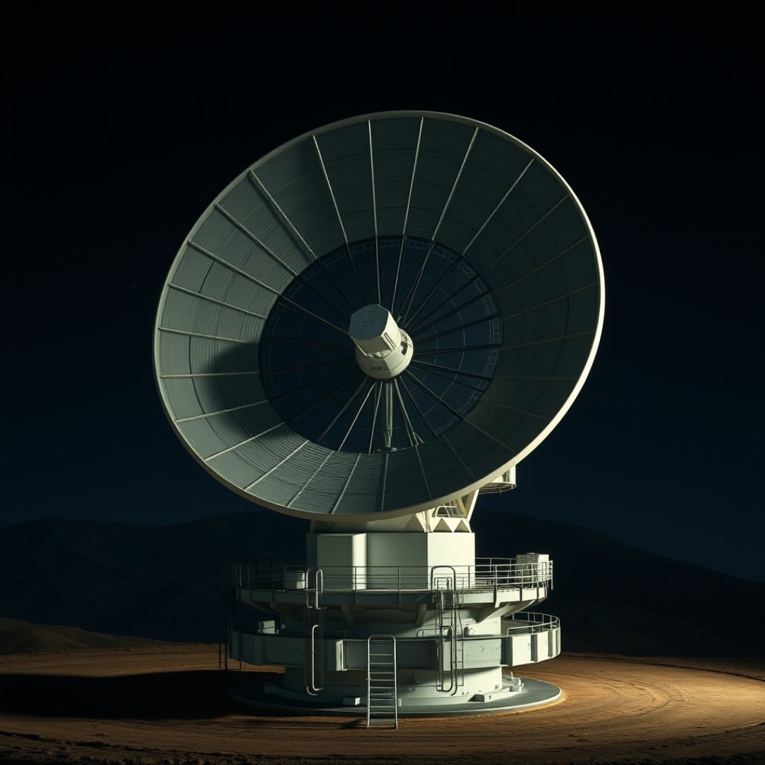
At its core, the mission utilizes a technique known as Synthetic Aperture Radar (SAR). By transmitting microwave pulses toward the Earth’s surface and recording the backscatter, the instrument constructs detailed images of the terrain. This process bypasses the limitations of visible light, allowing for clear observation regardless of the time of day or atmospheric conditions.
High-Frequency Scanning
The system is designed to provide frequent, repetitive views of the same locations. Key benefits include:
- All-weather performance: Clouds, smoke, and smog do not block radar waves.
- Sub-centimeter precision: It can detect minute shifts in ground elevation.
- Global mapping: Systematic coverage ensures no region is ignored.
Applications in Environmental Monitoring
Tracking Climate Indicators
The mission is essential for understanding how the planet reacts to a warming climate. By monitoring the movement of glaciers and the extent of seasonal sea ice, scientists can calculate mass loss with unprecedented accuracy. These insights help refine models that predict future sea-level rises.
Ecosystem Health
Beyond physical geography, the satellite provides deep insights into biomass levels. It allows researchers to map forest density and health, tracking deforestation and forest regrowth across vast, remote areas like the Amazon and Southeast Asia. This data is critical for managing carbon sinks effectively.
Improving Disaster Preparedness
Rapid Response Mechanisms
When natural disasters strike, timing is critical. The mission provides rapid-fire data that can be used to generate damage assessments almost immediately after an earthquake or flood. Emergency responders can utilize this near-real-time information to allocate resources to the areas that need them most, potentially saving countless lives.
Predictive Modeling
By observing the subtle ground deformations that often precede volcanic eruptions or landslides, the system enables proactive alerts. This ability to spot ‘pre-disaster’ signals changes the game from reactive rescue operations to proactive safety management.
Frequently Asked Questions
What makes NISAR unique compared to other satellites?
It is the first radar satellite mission to use two different radar frequencies (L-band and S-band), which allows it to capture a wider range of surface data with incredible detail and frequency.
Can the satellite see through buildings?
No, it cannot see inside buildings. However, it can detect very small changes in the elevation or physical position of structures, which helps in identifying earthquake damage or ground subsidence.
Who is involved in the mission?
The mission is a collaborative partnership between NASA (United States) and ISRO (India), combining their respective expertise in aerospace engineering and Earth observation.