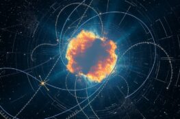
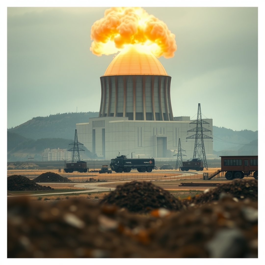
When North Korea nuclear weapons testing occurs deep beneath the mountainous terrain of the Punggye-ri site, the resulting energy release creates distinct ripples that traverse the Earth’s crust. These underground explosions generate seismic waves that are captured by a sophisticated global network of monitoring stations, serving as the primary method for international observers to verify suspected detonations. By analyzing the unique signatures of these tremors, seismologists can distinguish between naturally occurring earthquakes and the violent, abrupt energy discharge of a man-made nuclear device. Understanding these seismic impacts is critical, as the data provides verifiable evidence that allows the global community to track developments in prohibited nuclear programs while simultaneously studying the physical effects of explosive forces on the surrounding subterranean geological environment.
Detecting Explosions Through Seismology
How Seismic Waves Distinguish Explosions
Unlike tectonic earthquakes, which typically involve the slippage of massive fault lines over several seconds, a nuclear explosion releases immense energy in a fraction of a second. This results in a high-frequency initial wave known as a compressional wave (P-wave). Seismologists look for the ratio between P-waves and shear waves (S-waves) to determine the source type.
- Explosions: Characterized by strong P-waves and relatively weak S-waves.
- Earthquakes: Produce significantly more energy in the form of S-waves due to the sliding motion of rock masses.
Geological Consequences of Underground Detonations
Structural Integrity and Environmental Risk
The sustained use of the Punggye-ri site has led to measurable shifts in the local crustal structure. Large-scale tests can cause cavity collapse, where the rock surrounding the epicenter caves in due to the intense heat and pressure of the blast. This phenomenon, often termed ‘subsided ground,’ can lead to localized aftershocks that are distinct from the initial event.
Furthermore, the concern remains that repeated high-yield tests could compromise the geological stability of the Mantap Mountain region, potentially causing accidental venting of radioactive materials into the atmosphere or groundwater supplies if the structural fissures reach the surface.
The Global Monitoring Network
The Role of the CTBTO
The Comprehensive Nuclear-Test-Ban Treaty Organization (CTBTO) operates the International Monitoring System (IMS), a global array of seismic, hydroacoustic, and infrasound stations. This network ensures that no nuclear test goes undetected, regardless of its location or size.
- Seismic Stations: Monitor ground motion to detect shockwaves.
- Infrasound Stations: Capture low-frequency sound waves that travel through the atmosphere.
- Radionuclide Stations: Detect microscopic particles released if an explosion is not perfectly contained.
Frequently Asked Questions
Can seismic data distinguish an earthquake from a nuclear test?
Yes. Seismologists analyze the wave patterns. Nuclear tests produce a much higher ratio of compressional waves compared to shear waves, which is the opposite of the wave signature produced by natural tectonic movement.
Why does North Korea conduct these tests underground?
Testing underground is the standard method to conceal the detonation from satellite observation and to minimize the immediate release of radioactive fallout into the atmosphere, although it does not hide the event from seismic sensors.
What is the Punggye-ri site?
Punggye-ri is the primary nuclear test site in North Korea. It is located in a mountainous region where the granite rock provides a stable environment for conducting underground nuclear weapon detonations.