
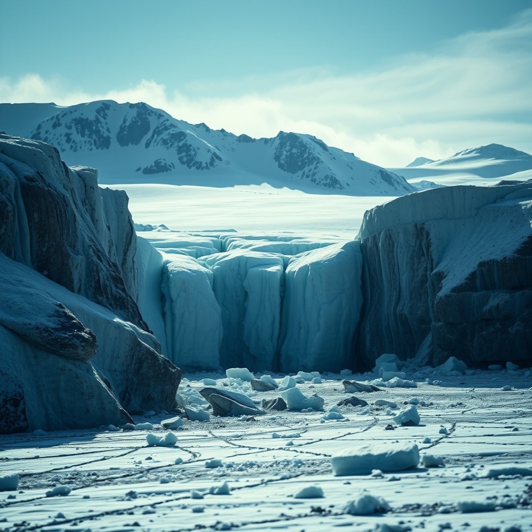
The stability of the Southern Hemisphere’s ice sheets represents one of the most critical variables in contemporary climate science. As global temperatures continue to rise, the potential for Antarctic glacial collapse has become a central focus for researchers attempting to quantify future sea-level projections. By integrating satellite-derived data with complex fluid dynamics and geothermal heat flux inputs, scientists are developing sophisticated computational frameworks. These tools allow us to simulate the physical processes occurring at the grounding line—the region where ice sheets transition from land to floating ice shelves—providing a clearer picture of how structural instabilities may trigger rapid, irreversible ice mass loss. Understanding these predictive mechanisms is not merely an academic exercise; it is essential for coastal planning, infrastructure protection, and mitigating the socio-economic impact of rising oceans across the globe.
The Mechanics of Ice Shelf Instability
Marine Ice Sheet Instability
At the core of many models is the Marine Ice Sheet Instability (MISI) hypothesis. This theory suggests that ice sheets resting on bedrock that slopes toward the continent’s interior are inherently unstable. As the grounding line retreats, the ice thickens, causing the glacier to flow faster and retreat even further.
The Role of Hydrofracturing
Models now incorporate the mechanics of hydrofracturing, where meltwater on the surface of an ice shelf trickles into crevasses. The pressure of this water forces the cracks to deepen, eventually causing the ice shelf to shatter. This process significantly reduces the back-pressure holding back land-based glaciers, accelerating their discharge into the ocean.
Integrating Data into Numerical Models
Satellite Observations
Modern predictive modeling relies heavily on high-resolution data from satellites such as CryoSat-2 and the ICESat-2 mission. These platforms provide precise measurements of surface elevation and ice velocity changes, which serve as the baseline for computational simulations.
Coupling Ice and Ocean Dynamics
Current research emphasizes the necessity of fully coupled models. This means linking atmospheric models, oceanic circulation models, and ice sheet models into a single framework. By simulating the interaction between warm circumpolar deep water and the underside of ice shelves, scientists can better predict melt rates that were previously underestimated.
Future Challenges and Uncertainty Factors
Computational Constraints
While models are increasingly powerful, they remain limited by computational costs. Simulating an entire continent requires significant processing power, often forcing researchers to choose between high-resolution focus on specific glaciers or coarser continental overviews.
Key Uncertainties in Modeling
- Bedrock Topography: Incomplete mapping of the Antarctic seafloor complicates our understanding of grounding line migration.
- Snow Accumulation: Variations in precipitation patterns across the continent create uncertainty in mass balance calculations.
- Sub-glacial Heat Flux: Geothermal heat from the Earth’s mantle can influence basal sliding, yet it is difficult to measure directly.
Frequently Asked Questions
Why is Antarctic glacial collapse considered a tipping point?
It is considered a tipping point because once a certain threshold of retreat is crossed, the process becomes self-sustaining and irreversible under current climate conditions, leading to massive, long-term sea-level rise.
How do satellites help predict glacial collapse?
Satellites provide continuous, continent-wide measurements of ice elevation, flow speed, and gravity fluctuations, which are essential for feeding accurate real-world data into predictive mathematical models.
What is the grounding line of a glacier?
The grounding line is the specific boundary point where a glacier or ice stream loses contact with the bedrock and begins to float as an ice shelf on the ocean surface.