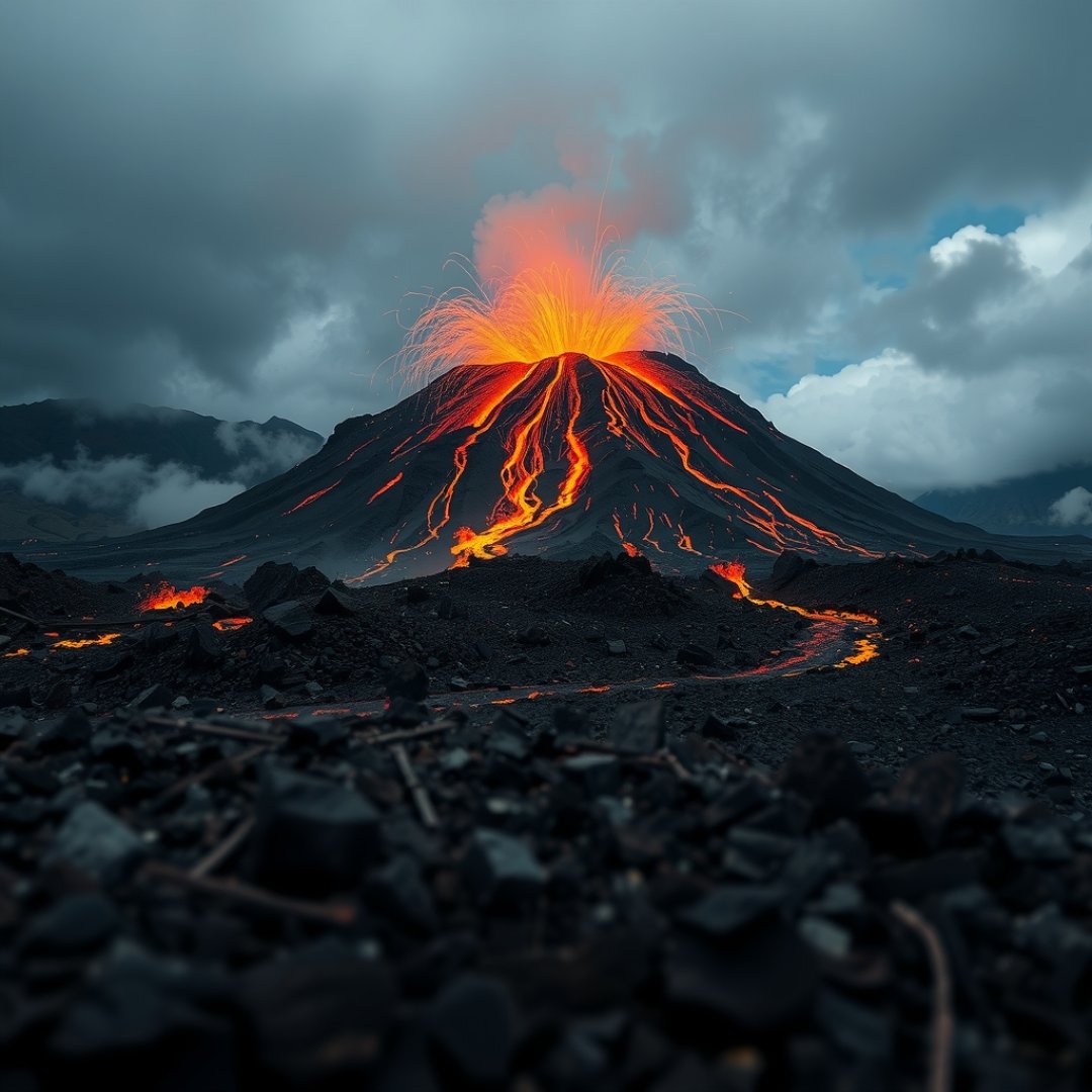
The persistent Anak Krakatau volcanic activity represents a significant point of interest for researchers and local communities living along the Sunda Strait. Known as the child of the legendary 1883 Krakatoa eruption, this island has demonstrated rapid morphological growth and frequent explosive cycles that demand constant monitoring. Understanding the mechanics behind this geological phenomenon is essential for predicting potential hazards, including sudden flank collapses and secondary tsunami threats. As an active stratovolcano, its behavior provides critical data on island arc volcanism, allowing scientists to refine disaster mitigation strategies that protect human lives and property in the surrounding archipelagic region. By analyzing the tectonic context and eruption patterns, we gain a clearer picture of how volatile underwater landmasses behave over time and the long-term environmental consequences that follow intense eruptive phases.
Geological Evolution of the Anak Krakatau Island
Emergence and Growth
Anak Krakatau emerged from the caldera created by the devastating 1883 Krakatoa eruption. Since its appearance in the 1920s, the island has been characterized by episodic growth cycles. Its position on the boundary of tectonic plates makes it a prime site for regular magma upwelling, which consistently builds the height and width of the volcanic edifice.
Structural Vulnerability
Because the island is composed primarily of loose volcanic debris and ash, it lacks the structural integrity of more mature volcanoes. This instability is a crucial aspect of its activity, as the constant accumulation of material on steep, underwater slopes creates a heightened risk of mass wasting events.
Risks Posed by Eruption-Induced Mass Wasting
The 2018 Flank Collapse
A primary concern regarding the Anak Krakatau volcanic activity is the potential for submarine landslides. In December 2018, a significant portion of the volcano collapsed into the sea, triggering a deadly tsunami. This event underscored the dangerous link between explosive volcanic activity and massive displacement of water.
- Seismic Triggers: Eruptions often coincide with tremors that destabilize precarious slopes.
- Submarine Landslides: Unseen portions of the volcano resting on the seabed can slide, pushing water forward and creating unexpected tsunami waves.
- Morphological Shifts: The physical shape of the volcano changes drastically after each major collapse, requiring updated hazard maps.
Mitigation and Advanced Monitoring Strategies
Interdisciplinary Observation Networks
To address these hazards, scientists utilize a mix of ground-based seismographs, satellite imagery, and tiltmeters. These tools allow for real-time tracking of magma movement and ground deformation, providing vital early warning indicators to local authorities.
Community Resilience and Education
Technological data is only effective if integrated into local disaster readiness programs. By establishing clear evacuation protocols and building awareness about the warning signs of a volcanic tsunami, authorities significantly lower the risk of casualties. Ongoing collaboration between global vulcanologists and local agencies ensures that the latest science informs real-world emergency responses.
Frequently Asked Questions
What is the primary danger associated with Anak Krakatau?
The main danger is the potential for a lateral collapse of the volcanic cone into the sea, which can displace large volumes of water and generate destructive local tsunamis.
How often does Anak Krakatau erupt?
Anak Krakatau is highly active and experiences frequent, often daily, small-to-moderate explosive events, which are typical of its current growth phase.
Is the entire island at risk of collapse?
Yes, because the island is built on the steep, unstable slopes of the 1883 caldera, large segments are prone to failure during intense eruptive cycles or significant seismic activity.